
It has been more than a week already. Decided to go diferently today. This post is brought to you by the letter M. Can you say MAP?
http://en.wikipedia.org/wiki/Stephen_Wiltshire
Stephen Wiltshire, for instance, is an autistic artist with an extraordinary ability to create spectacular landscapes (at a monumental level) based on short time observation. Quite an ability if you ask me. Would he ever be an Al Qaeda target given his photographic memory? who knows?
Anyway, here is a link to his webpage...
http://www.stephenwiltshire.co.uk/
And since the site seems to be protected by Copyright goons I won't present panoramas from his page. What I'll do is embed by reference a job he did on Tokyo recently:
The early show also covered him, here is one matching up details on a mural he was making on the East Side of NYC.
Which brings me to the next subject in question. At some point in history, it was mandatory to be able to reproduce quality maps based on handbooks. This skill required drafting maps on sheets of paper based on maps. Now we photocopy or print from the web. When I was a kid we traced them using tracing paper, pencil and then inked from places like Enciclopedia Brittanica or World Book.
Well, here I was checking some 19th century student maps on Geography.
http://www.metafilter.com/114427/19th-Century-Maps-Drawn-By-Children
Wonder how many hours Al Franken spent practicing maps to do this during an interview on the Minnesota State Fair...
http://minnesota.publicradio.org/collections/special/columns/news_cut/archive/2009/09/usa_the_franken_way.shtml
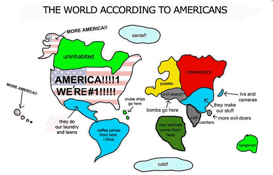
Not quite the US Centric one here...
http://www.ritholtz.com/blog/wp-content/uploads/2009/11/world-accordign-to-USA.jpg
Or game maps made from memory...
http://mapstalgia.tumblr.com/page/2
Ahh Those D and D Marathons with my cousins...
Also reminded me of the segments of Animaniacs. Why they don't produce stuff like this anymore?
To close with skylines I could not leave out Beastie Boys landmark album To The Fivc Boroughs and the NY City Skyline drawn in it:
http://en.wikipedia.org/wiki/To_the_5_Boroughs
Here is an alternate version of 3 MCs and 1 DJ...
The original version here:
The cover made by:
http://www.amazon.com/London-Unfurled-Matteo-Pericoli/dp/0330517821/matteperichom-20
2 comments:
En su momento fui un apasionado de mapas del ayer provistos en antiguas revistas National Geographic...Sentia un gran placer en mirar formas, carreteras, topo/geografias, nombres que jamas visitaria i o visite...Pero ya no.
Sin embargo antes del GPS, que seria del pueblo sin su mapa para esto o aquello...
No soy geografo, pero siempre he tenido que lidiar con mapas en mi trabajo. Soy una reliquia en el sentido de que a veces las distancias y areas las calculo con reglas y cuadriculas, o a veces con planimetros.
Si, el GIS y programas similares tienen widgets que determinan areas de captacion y areas pero muchas veces tienen errores de escala y si no tienes idea de la orden de magnitud del area te da un valor que es un disparate.
A veces hay que validar sacando un area peque/na usando la misma escala pero a mano para ver si la escala es correcta.
Algo como 3 acres vs 30.3 acres es un mundo de diferencia...
De por si, siempre tenia mapas de los diferentes sitios que vistaba. Mi papa se mudo varias veces a diferentes ciudades y me daba la oportunidad de correr bicicleta por horas. Salia, compraba un mapa en la gasolinera mas cercana y marcaba la corrida, la calcaba en una libreta con notas y observaciones. Una lastima que perdi esas libretas entre mudanza y mudanza.
Post a Comment